…with apologies to T.R. Pearson.
This final post from the New Zealand trip is being written two days after returning home. Lame, yes, I know. But in defense, it was rather difficult to find WiFi in New Zealand, and connections were slow when found. Nevertheless, I have some images from a truly wonderful day (for me, at any rate).
I decided before leaving home that I wanted to trek the Tongariro Alpine Crossing, and I was exceedingly fortunate in being able to follow through with that desire. Described as the single greatest “walk” in NZ, I saw that it involved craters and other landscapes that resembled the moon. I was sold months before we left.
I knew it would be tough, with terminology along the trail like “Devil’s Staircase” and “800 metre elevation gains” and “hellish”, so I took only what I felt I needed in a small rucksack – and even then took more than I ended up needing for an end-of-summer hike that day (things I took and ended up not using: long johns, MEC lightweight trek pants, 80-200mm f2.8 lens).
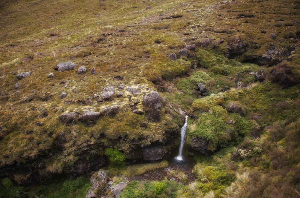
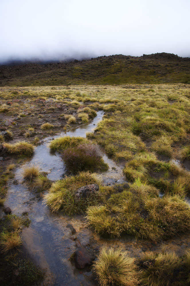
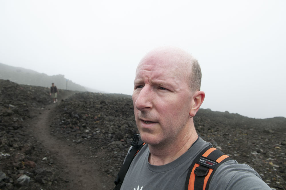
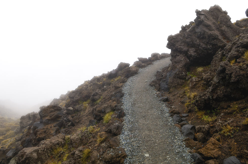
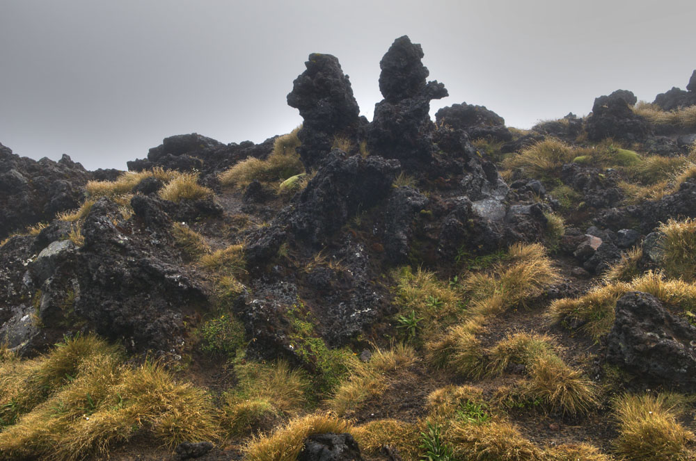
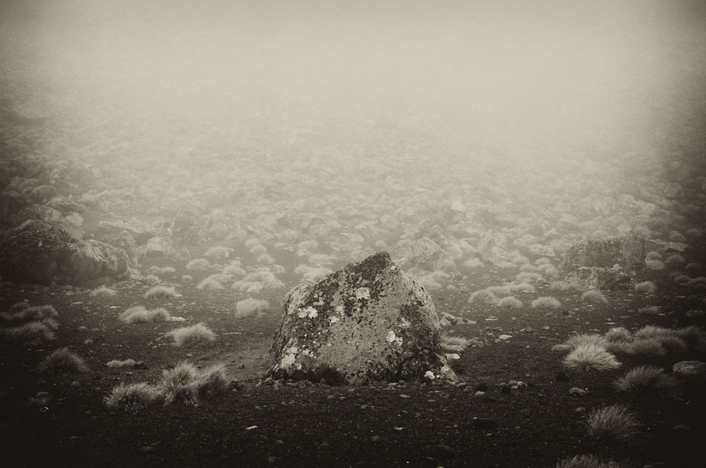
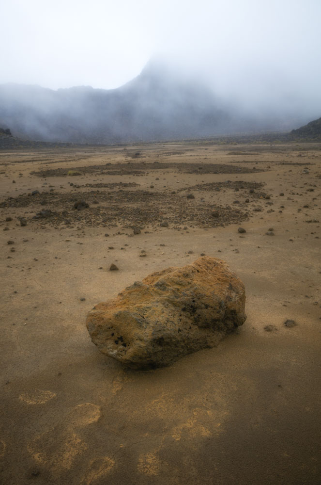
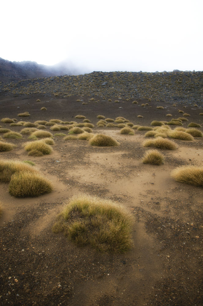
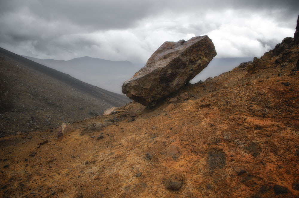
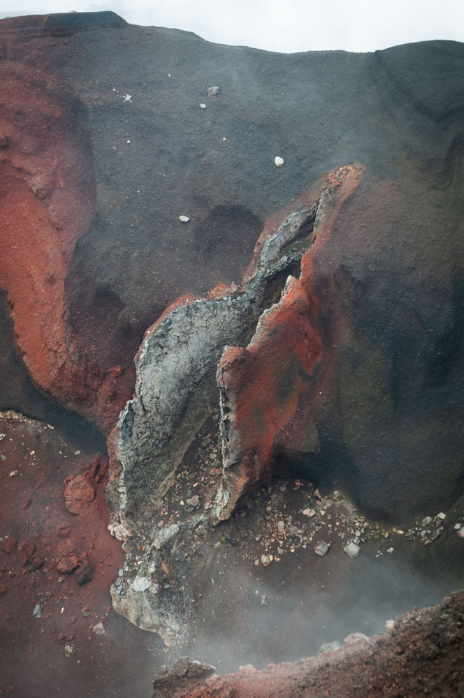
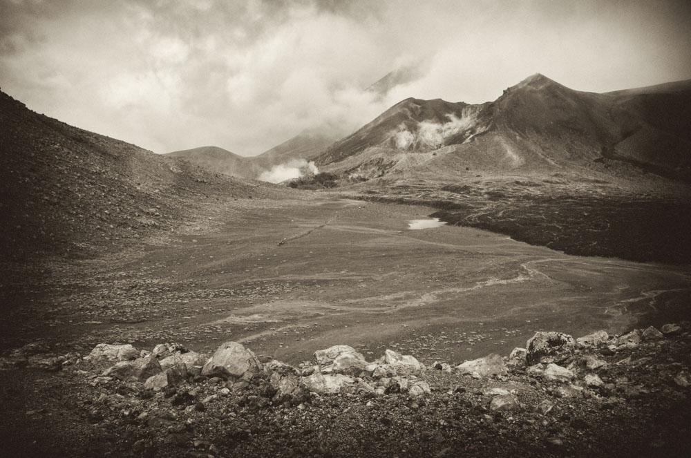
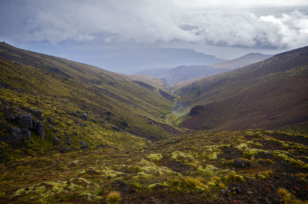
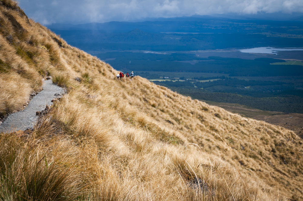
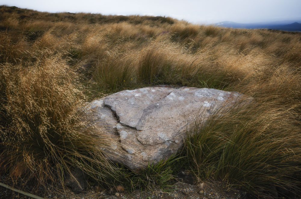
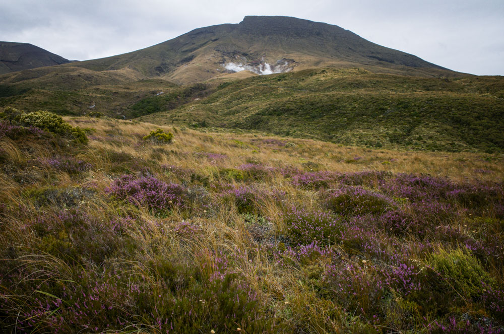
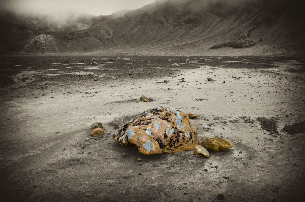
The trails starts in what looks very much like the Scottish highlands; rolling hills covered by purple heather, scratchy bracken, and sharply-pebbled soil. Within an hours approach, however, the trail steepens and significant elevation gains are encountered and the trail (pretty well groomed actually) climbs up through scrub, to rocky out-croppings to above the vegetation line into lava cinders. After the Devil’s Staircase, the trail winds across the flat floor of a volcanic crater to the far crater wall and ascends steeply again. It started raining at this point and I was glad of my Gore-Tex jacket. After cresting the far edge of the crater wall, the terrain fell away steeply on the other side and the trail negotiated the ridge between the two terrain drops up and up along this ridge to the edge of another crater (referred to as the red crater due to its appearance). By this time, all vegetation had been left far behind, and with fog and mist rolling through and around everything and spitting rain keeping everything damp, I did indeed feel like I was crossing Tolkein’s Mount Doom. The area I was traversing was actually used in the Tolkein movies, and Mount Ngaurahoe (“Engowra-hoy-ee”) was actually Mount Doom in the films. However, the Tongariro Alpine Crossing encompassing far higher latitudes that were used in the film. The Mountain served only as backdrop and some lower elevation terrain was used here and there for filming.
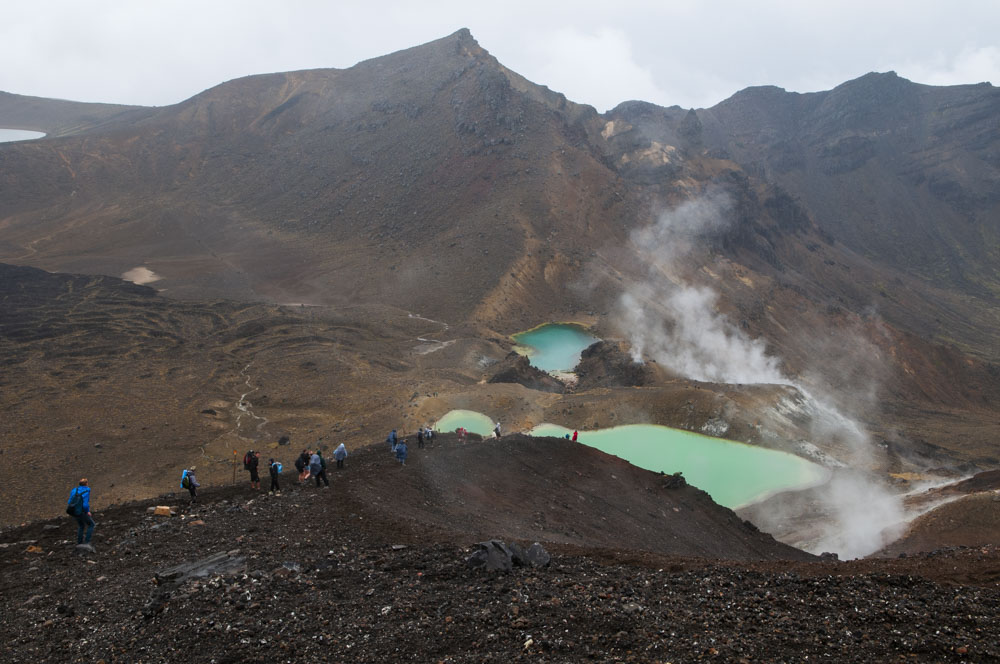
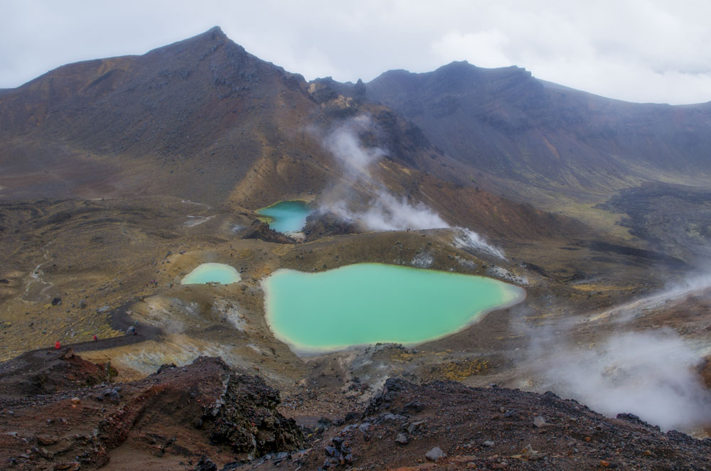
Crossing a peak at the Red Crater the trail descended steeply down a deep black cinder trail to three emerald lakes, startling in their contrast with the surrounding landscape. The volcano was last active in 1975, and steam can easily been seen issuing from many slopes in the area. In fact, before descending the black cinder trail, you can first sit at the peak and warm yer behind on the rocky ground. Weird feeling, that, I can tell you.
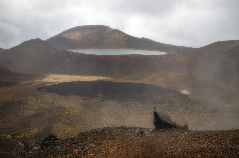
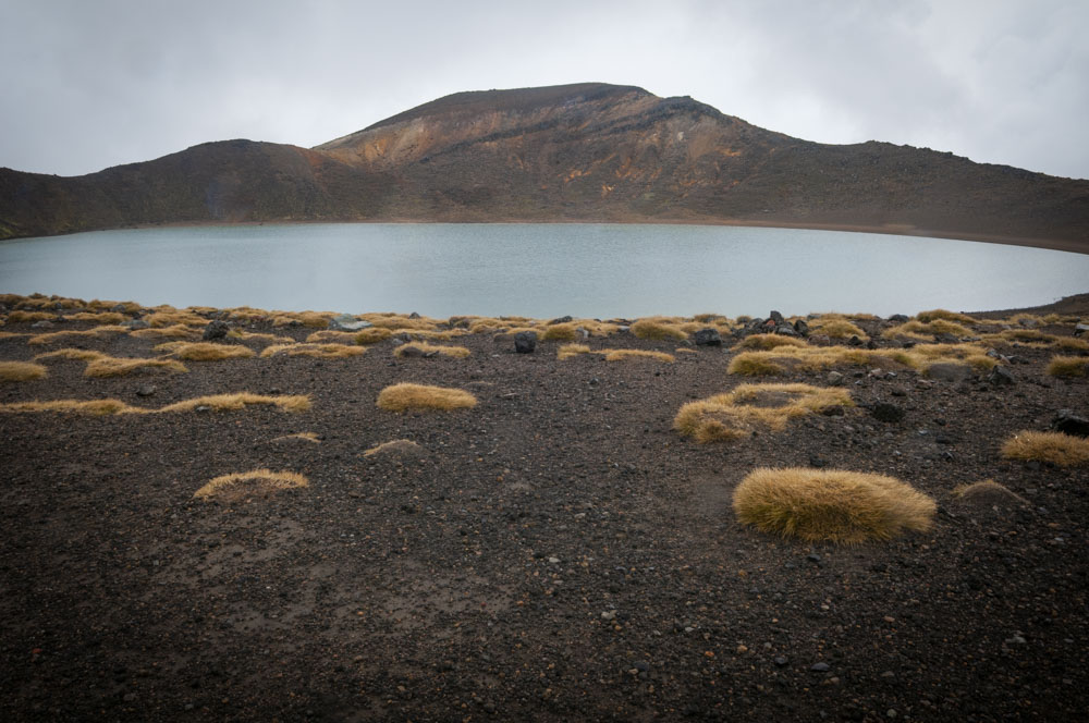
Descending from the emerald lakes, the trail crossing the flat floor of another crater and climbs the other side to another lake – this one blue. Even this area is known to the Maori and the lakes are “tapu”, meaning forbidden (no swimming or eating near them) – a word from which we derived our English version “taboo.” It was raining steadily at this point and I was pretty wet, but I was happy happy happy. I kept grinning from ear to ear all to myself and tramping the cinders and saying out loud “I’m here! I’m really here”. I couldn’t quite believe it. I was so high in elevation – something I always aspired to and loved loved loved when hiking in the Rockies when younger.
There were other people of the trail; lots of them, in fact. I would estimate there to have been approximately 200 people hiking that day, between the starting point and 20 kms later at the end point. This meant that you were either being swooshed-past by people who should have been looking at the beautiful landscape but who were racing along, or stumbling behind people clearly out of their depth and quite frightened by what they’d gotten themselves into. At damn-near-45, I felt pretty good marching along and sometimes passing people half my age…
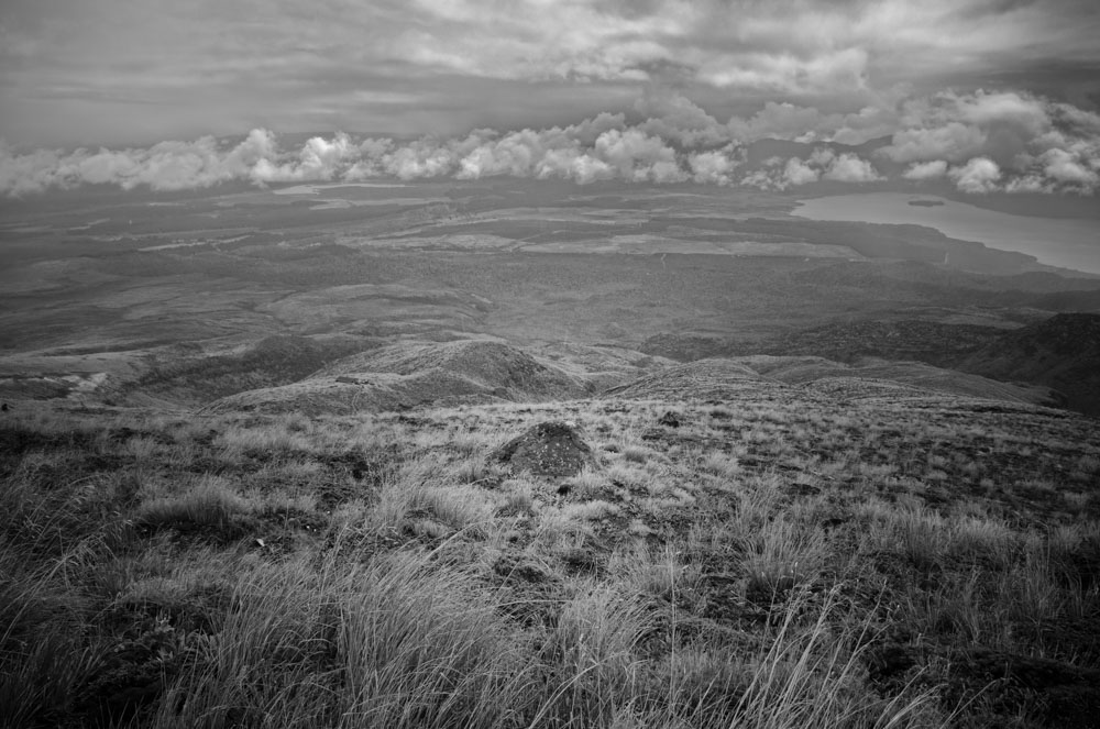
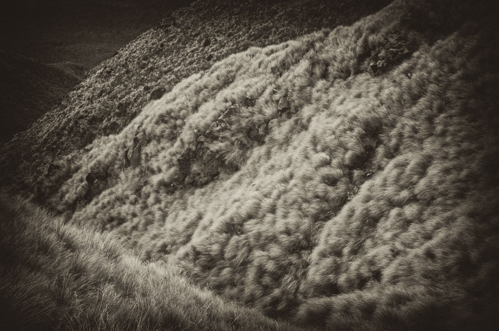
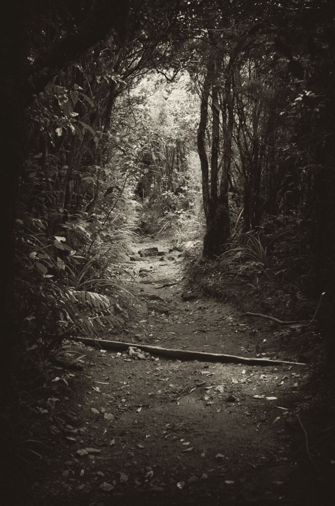
After the blue lake, I realized that I had been shooting at around f13-22 and a 200th/sec (200 ASA). This meant that I was getting tremendous depth of field at a low ASA. When shooting, the lens is wide open, of course, and I groaned as I realized that teeny water droplets on my lens were being nicely rendered as the lens stopped down during the exposure – not something that could been seen when shooting and the lens wide open. So you’ll see that in some of the frames below. Oh well. It began to sleet at that point and strangely enough, I just didn’t feel the cold on my legs. My shorts were a little wet, but that didn’t bother me either. I was energized, Cap’n Kirk! The trail wound around the edge of the blue lake crater and began the true descent to the end point – some 6 kms on. As before, the trail went down through heather and bracken, but continued on this side down through warm and lush rainforest, emerging at a hot and dry parking lot where people were collecting like ants dumped out of a specimen jar. And that was it. 5.5 hours across 20 kms and some of the most stamina-testing hiking I have ever done. At one point I remember think “my god, am I going to have to turn back?” My own personal horror at such an admission of defeat kept me going. I remember my temples throbbing like I’ve never known them to and stumbling and kicking rocks because I simply could not lift my feet any higher per step. However, I did get a second wind about half-way and was just so damned grateful for it. I credit some “Powerade” drink I took with me, along with water, an orange, two bananas and an apple (plus trail mix) for seeing me through. So. Here are some images from that wonderful day:
